"This project is also the “hundreds-kilometers
journey” made in weeks of walks.
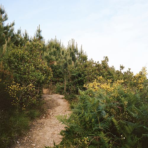
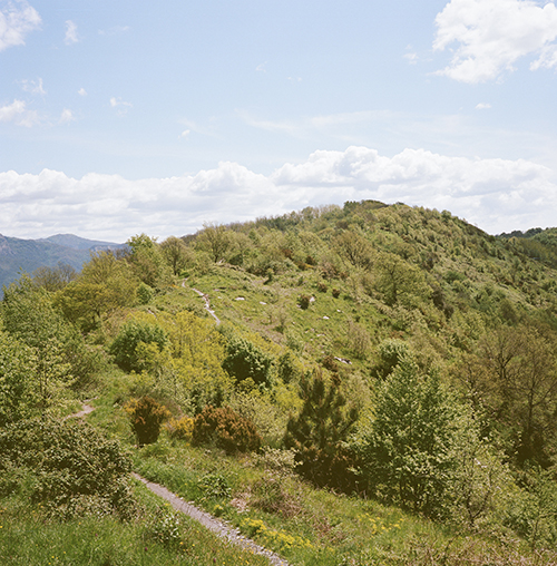
Walks made through well marked path (but sometimes also through almost unknown paths) both walked and after accurately reported in maps.
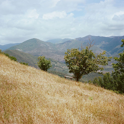
Path of Appennino’s mountains, in Liguria and Tuscany: wild but friendly lands".
Path collects: handmade maps, drawings, notes, pictures about the paths walked during two year of researches through the Italian’s wood.
It’s mainly about northern side of the Appennino’s mountains (Liguria, Tuscany and Emilia Romagna)
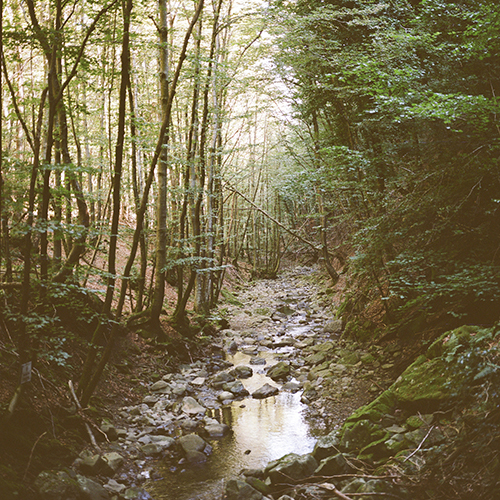
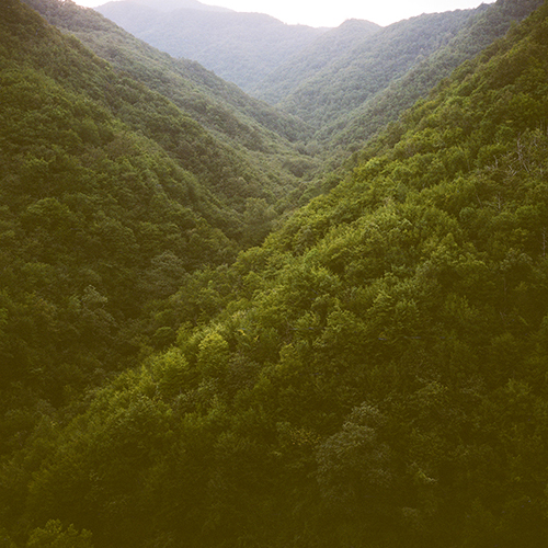
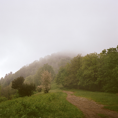
2014/2015 Appennino Ligure: Monte Capenardo
(GE), Area Protetta Punta Manara (GE), Golfo del Tigullio
(Ge).
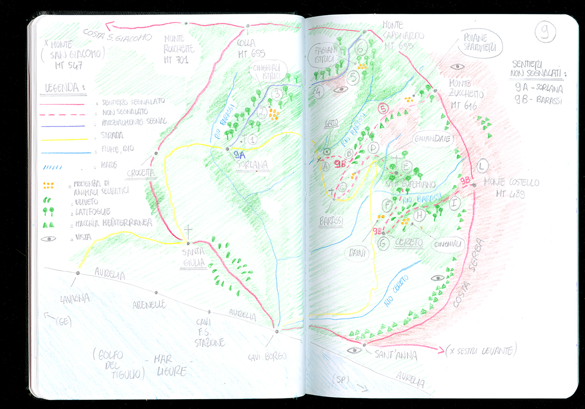
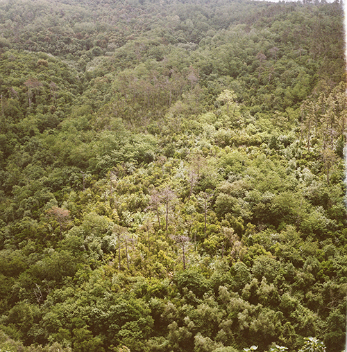
• “Monte Capenardo” (44°18'54"N / 9°24'2"E). This small mountain is part of a short ridge alongside the Ligurian cost (Levante) that faces the “Golfo del Tigullio” (Ligurian Sea) on one side and the interior (Appennino Ligure) on the other side. The place, as other similar places along the cost in the area, is very various for vegetation and landscape and it’s also crossed by the major routes of migratory birds.
• “Area protetta Punta Manara” is a little headland located at the end of the “Golfo del Tigullio” on the Ligurian Sea. The vegetation shows a beautiful
and very various example of Macchia mediterranea. Because of the particular position on the sea this area is crossed by different routes of migrant birds.
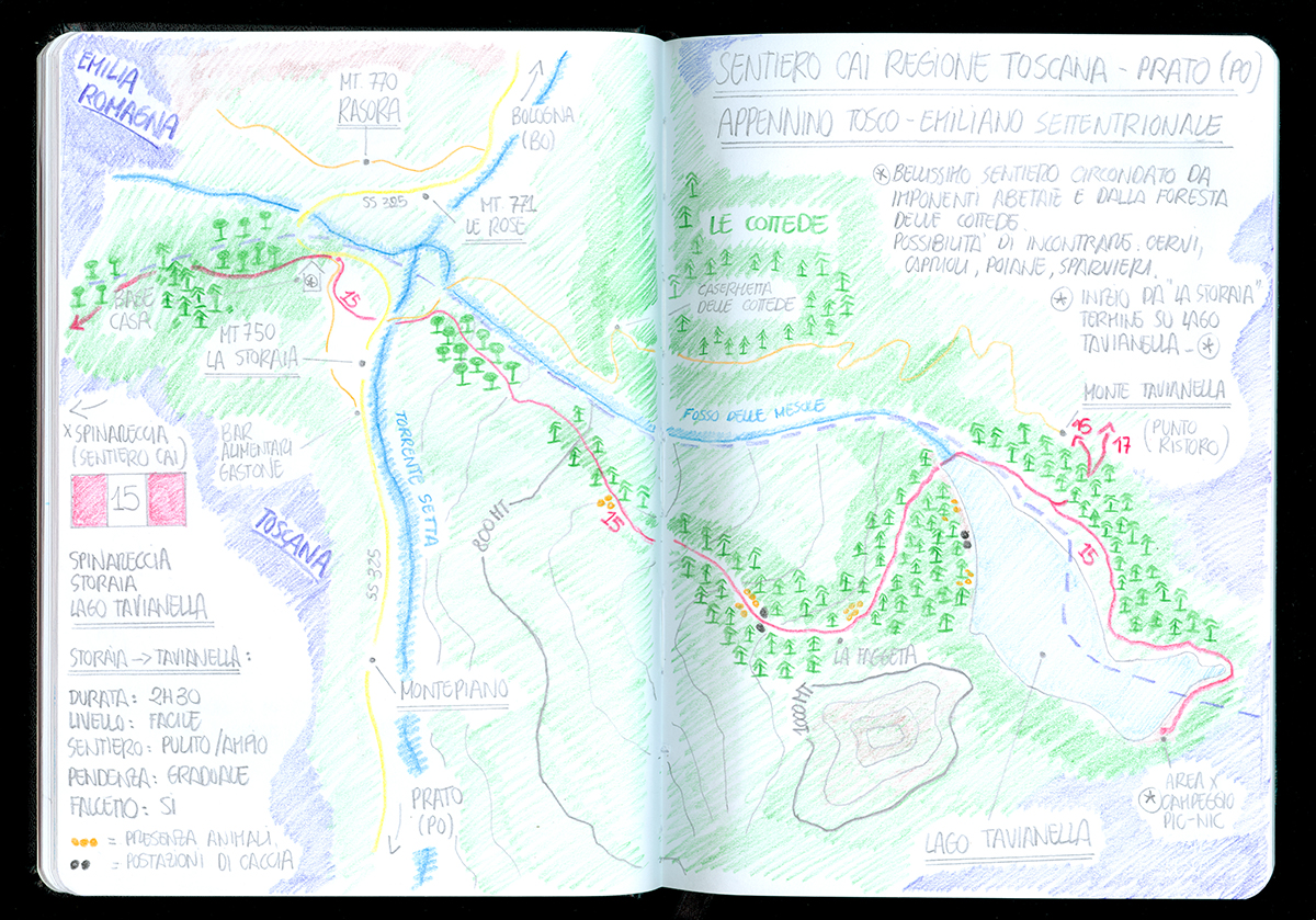
2014/2015 Appennino Tosco Emiliano: Parco dei Laghi di Suviana e di Brasimone (BO), Lago Tavianella, Montepiano (PO), Appennino Pistoiese (PT), Riserva Naturale Acquerino Cantagallo (PO).